Numerous articles have been written regarding island erosion, coral reef degradation from sedimentation and impacts from the loss of wetlands, but these are all actually just small parts to a bigger picture. A watershed is an area of land in which all water that is under it or drains off it flows into the same place. The term never seems to come into conversation when arguing about environmental degradation but without watershed management, we will lose the very same resources people come to see – white sandy beaches, crystal blue waters, healthy reefs and lush green dramatic landscapes. On top of that, local residents will experience more landslides and flooding.

The simplest way to explain what multi-dimensional and highly complex systems watersheds are is to use the “ridge to reef” concept that states both upland areas (up to the top of the hill) and receiving coastal waters (coral reefs and seagrass beds) are affected by all development between the two. Our high volcanic islands consist of numerous watersheds, in fact, according to a 1990 watershed survey carried out by the Agriculture Department, Tortola alone has 41 watersheds.
For islands like Anegada that are relatively flat, the entire island is the watershed.
There are ways to minimize impacts from development but unless you understand what a watershed is and how it works, mitigation measures will fail miserably. People simply forget that for every action, there is an opposite and equal reaction. Not understanding what reaction could happen, will more likely cost you a lot of money to fix the problem or at the least, make for angry neighbours.
The first step in understanding watersheds is to realize the underlying geologic structure of the bedrock guides how stable a hillside is and whether or not it is prone to landslides. Without going into the geologic complexities of our islands, the Department of Disaster Management has employed various technical experts to carry out the research necessary to better understand our islands’ geologic makeup and also conducts hazard vulnerability assessments on new developments.
Throughout the BVI, the soil overlaying bedrock is thin and with low permeability of underlying bedrock, rainfall runs over the surface and down steep hillsides through ghut channels and either directly into the bays or into wetland areas. This simplistic hydrologic model is complicated when human activities such as deforestation, infilling of wetlands, road cutting and carving gigantic holes in the hillside occur. There is nothing wrong with development but people forget the reaction to such actions results in accelerated erosion rates of soil that ends up in coastal waters degrading water quality and killing the reefs. There is also the reaction of flooding in areas where it never flooded before, especially after a pond has been filled in since water no longer has anywhere else to go but places such as outside your front doorstep. Mitigating these reactions to development is all part of watershed management.
Prevention is the key but in many cases, as development continues, these problems continue to occur throughout the Caribbean. So what do you do? To start with, the amount of water on the hillside has to be reduced before reaching the bottom of the hill. Every individual building on an island contributes to the collective amount of water that is redirected from what would have otherwise been a natural route towards a ghut or filtered and absorbed through vegetation; instead, the water finds a new way down the hill. Improving the efficiency of drainage around a building such as through the use of swales (to slow water down) or redirecting water towards natural ghuts is a start. Also creating more permeable surface areas to compensate what was lost from making the building footprint impervious. Terracing not only provides more permeable surface area to hold water, but plants make for a much better landscape than a concrete retaining wall. Terracing is also a lot cheaper than putting up a big grey wall.
There is always going to be water that makes it to the bottom of the hill, which is why wetlands and ponds are so important. Wetlands provide a place for water to settle before being filtered out to sea. However, the concept to re-establish ponds by digging a big hole where it used to be sounds like a good idea but it’s a bit more complicated. First off, it’s not always possible since new buildings don’t move very easily. Secondly, more water volume flows off most hills these days than 50 years ago since there are a lot more buildings. If the same ponds did still exist, they would be over capacity. Re-designing a pond that will be functional requires, at minimum, the expertise of an engineer, hydrologist AND wetland specialist, but finding all three on the same island is extremely rare.
So, the next time you see problems such as flooding or murky water near the coastline after a rainfall, ask yourself if where you live or work has contributed to the
problem.
Related Articles
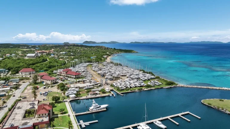
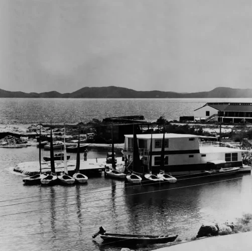
Virgin Gorda Yacht Harbour – A Boater’S Paradise
Proudly serving the BVI since the 1960s, the Virgin Gorda…

Mega Luxe On The Water
Flying Fox, a 136-metre Lürssen (446 ft), sleek and dove-grey,…
The Royal BVI Yacht Club – How It All Began
In the beginning an informal group of sailors organised Squib…
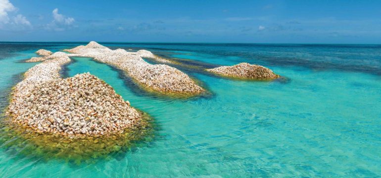
BEYOND THE BEACHES
Anegada, meaning ‘the drowned island’ is the northernmost of the…
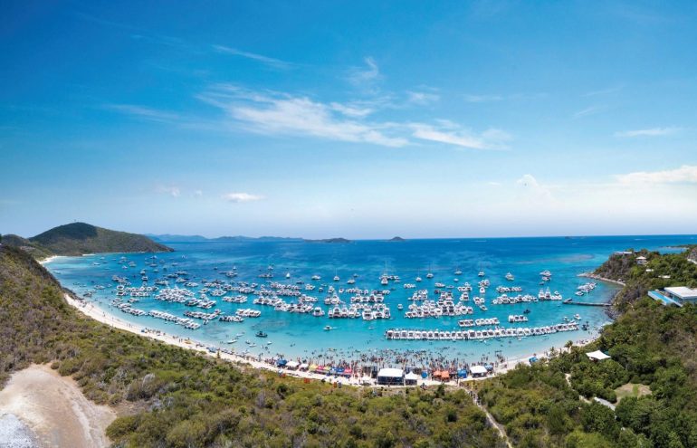
THE PARTY TO END ALL PARTIES!
Virgin Gorda’s sailing reputation is almost unparalleled in the Caribbean.…

Your Private Villa on the Water
For almost 30 years VOYAGE Yachts have built beautiful, international…